Sign Code Update
Read more about the County's new sign regulations.

Zoning Code Comprehensive Update
Review the list of proposed Zoning Code amendments.

Land Use Navigator (LUN)
Welcome to the Land Use Navigator, an online digital submission tool. Customers will be able to submit zoning applications; certificate of use applications; and zoning complaints online, including all supporting documentation.
About Zoning Ordinance
The Zoning Ordinance has two parts:
- A code outlining land use regulations
- A series of zoning maps that apply the regulations to properties within Anne Arundel County.
A set of bulk regulations is provided for each District. These set of laws regulate such areas as setbacks, height, lot area, lot width, and density. Overlays provide special regulations for targeted area or environmental features. The most well known overlay is the Critical Area Overlay that regulates development on lands located within 1,000 feet of the Chesapeake Bay and tributary streams. There is also a Bog Protection Overlay, a Commercial Revitalization Area Overlay, a Parole Town Center Overlay, and an Open Space Conservation Overlay.
The Zoning Ordinance is a “permissive” use ordinance; only the land uses specifically listed in the Code are allowed within the specific district. Uses not listed are not allowed. Each District has its own set of uses that are permitted as-of-right (P), permitted with conditions (C), permitted by special exception (SE), or permitted as an auxiliary to a business complex (A).
The Zoning Maps are available online at the Land Use and Zoning Map Viewer.
The zoning classification of property is determined by the official Zoning Maps of Anne Arundel County. To identify the zoning of a particular property you need some basic information: Tax ID number, address, or tax map, block, parcel number call 410-222-7437 to request this information.
-
 Article 18 Zoning Code
Access Article 18 Zoning of the Anne Arundel County Code.
-
 Odenton Master Plan
Do you live in Odenton, Maryland? Please refer to the Odenton Master Plan, the only other document with general zoning and development criteria specific to Odenton.
-
 Zoning Classifications Guide
 -
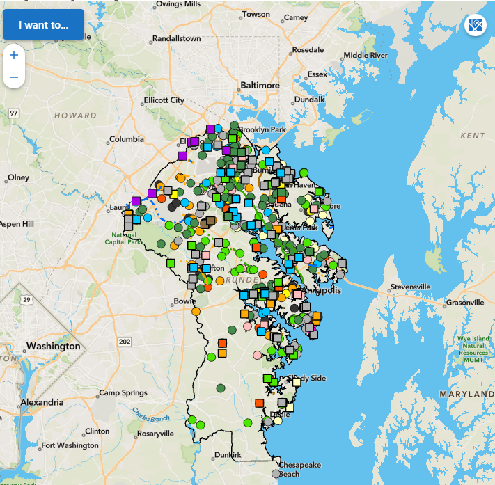
 Land Use and Zoning Map Viewer
Zoning Services
The Zoning Administration is responsible for the following zoning related services and processes.
- For information about submittal requirements, click on the boxes below.
- Apply for the items listed below online using the Land Use Navigator (LUN).
- For information about getting started with the system, visit the System Help page.
-
Administrative Zoning District Line Corrections
-
Buffer Modification Map Amendment
-
Critical Area Reclassification
-
Farm or Agricultural Heritage Site Special Event Temporary Use
-
Growth Allocation
-
Nonconforming Use
-
Pre-File
-
Rezoning
-
Sign Code
-
Special Exception
-
Temporary Use Request
-
Twenty-Year Registered Use
-
Variance
-
Zoning Verification Letters