
Planning Documents
Walk & Roll Anne Arundel! (2023), the recent update to the Pedestrian and Bicycle Master Plan, is a vision for walking, bicycling, and rolling using a connected network of streets and trails where it’s safer, easier, and more comfortable to get around outside of a vehicle.
The plan builds upon Move Anne Arundel!, the County’s recently adopted transportation master plan, as well as the previous 2003 and 2013 Pedestrian and Bicycle Master Plans.
- 2023 Bicycle and Pedestrian Master Plan - Walk and Roll Anne Arundel!
- 2013 Bicycle and Pedestrian Master Plan
- 2003 Bicycle and Pedestrian Master Plan
- Move AnneArundel! Transportation Functional Master Plan (TFMP)
Programs
The County is working on bringing bicycle and scooter share back.
Safe Routes to School
Anne Arundel County has partnered with Anne Arundel County Public Schools to perform a pilot program to teach elementary school age children how to safely bike and walk on roads.
3rd Graders at Folger McKinsey Elementary School
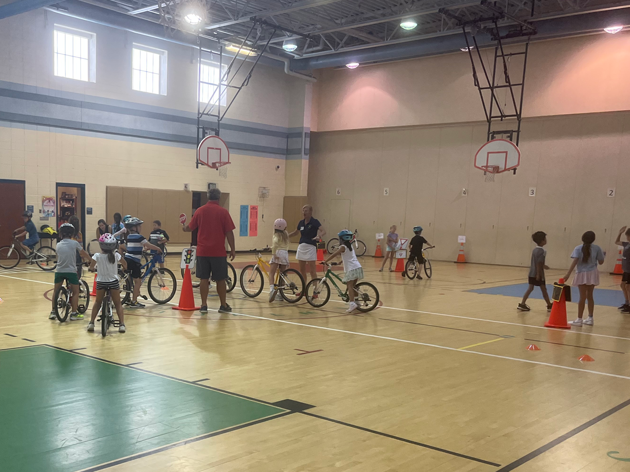
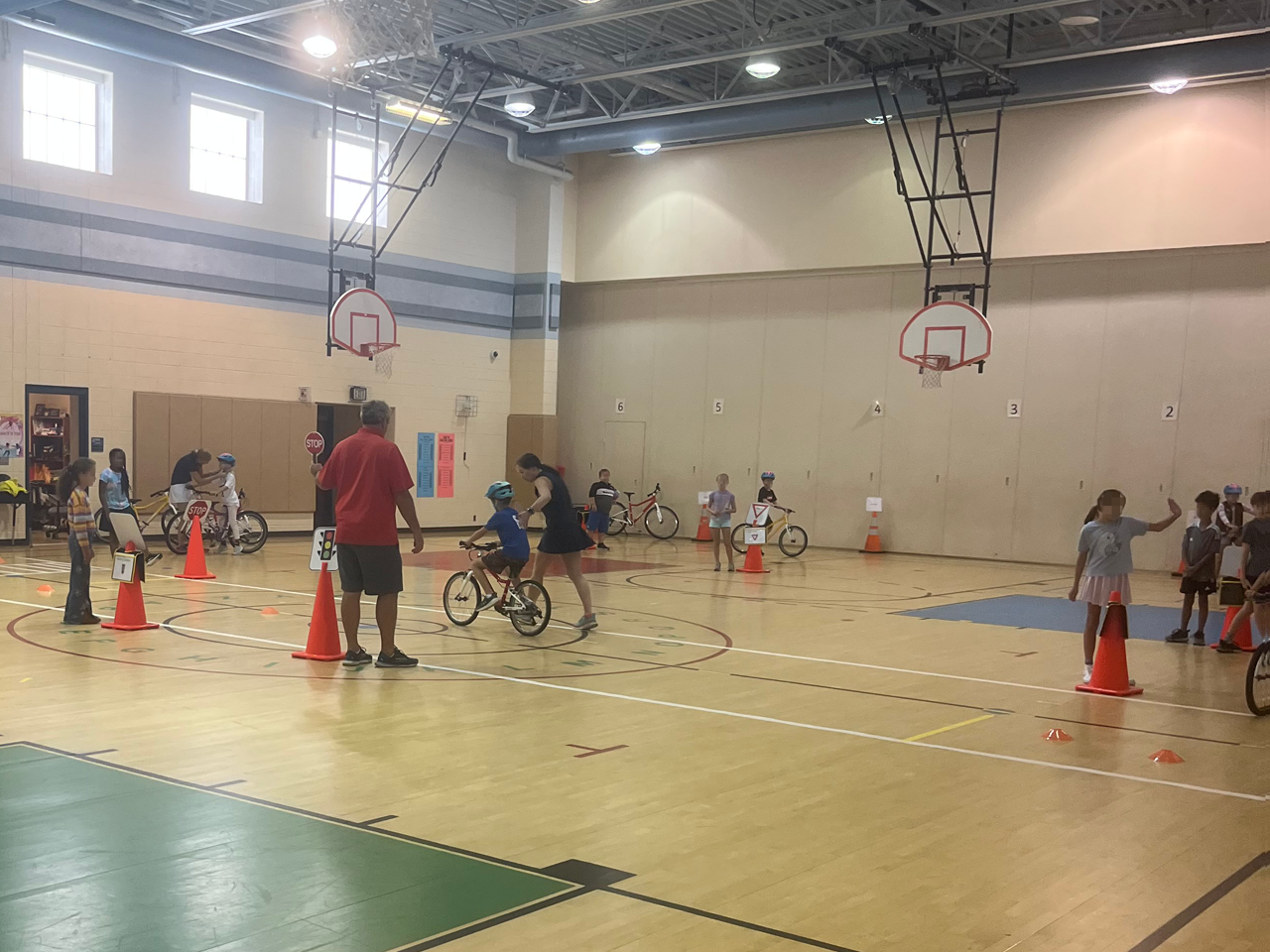
The County is conducting Safe Routes to School Accessibility Studies throughout the County. These studies examine existing conditions and recommend infrastructure related improvements in the areas surrounding elementary and middle schools, as well as education and outreach suggestions. Phase 1 studied 17 elementary schools identified in the County's transportation functional master plan, MoveAnneArundel!, and was completed in 2023.
We are currently performing Phase 2, which covers 10 elementary and 10 middle schools. A virtual public meeting is scheduled for Thursday, April 30th, from 6 - 7:30 to present findings for the Phase 2 schools. Additional in person public engagement near the subject schools is also scheduled for Phase 2.
To learn more about the studies and the upcoming public meetings, and how and where to attend, please click on the links below:
Useful Tools
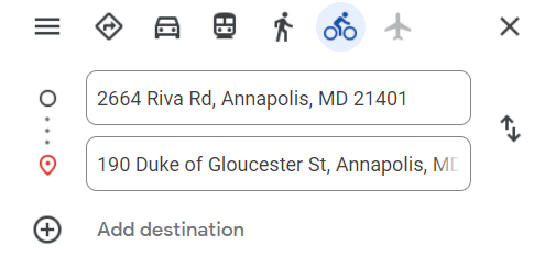
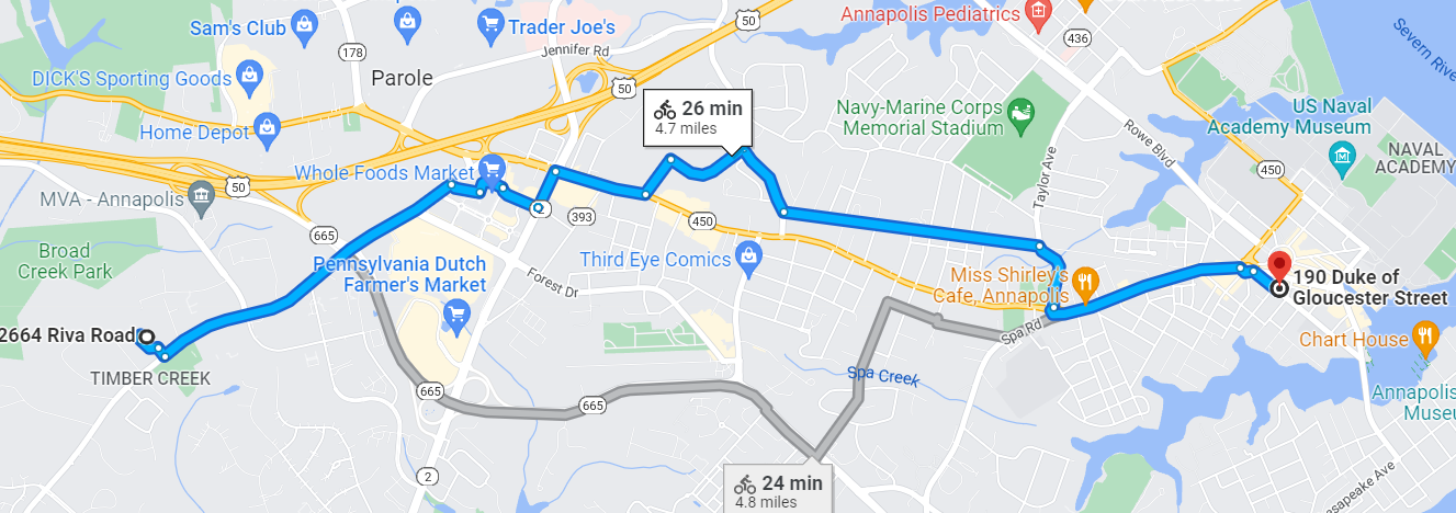
Google Maps can help you identify a bicycle or walking route from your origin to your destination, including bus stops. Just choose "Get Directions" and choose the bicycle or the pedestrian walking icons and Google will give you options. This Level of Traffic Stress map can help identify which roads may be higher or lower levels of comfort to ride a bicycle on.
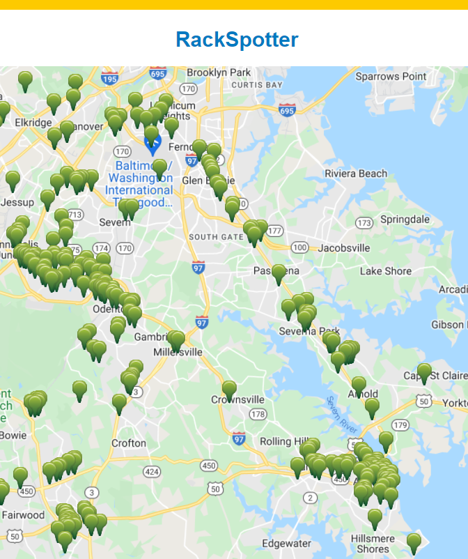
Looking to take a bike ride and want to find a place to lock your bikes? Rackspotter can help!
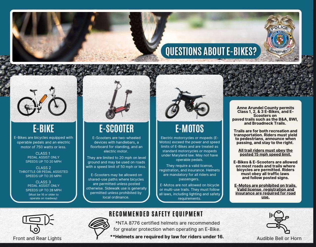
This guide details the legal classifications and safety requirements for electric mobility devices in Anne Arundel County, Maryland. It covers operational rules for Class 1, 2, and 3 e-bikes, e-scooters, and e-motos, including speed limits, trail access, and mandatory safety equipment.
BikeAAA envisions a trail network in Anne Arundel County, Maryland connecting people on foot or wheels with the places they need and want to go, both locally and regionally. The network utilizes numerous existing and planned trails and also identifies gaps to be filled with future trails.