Geographic Information Systems (GIS) staff are responsible for maintaining the Office’s digital databases and maps, performing spatial analysis, and for developing web GIS products for Office and public use. Working in the Esri ArcPro and the ArcGIS Portal environments, GIS staff strive to meet the needs of its customers with the highest accuracy possible.
Interactive Maps
Links to Anne Arundel County interactive mapping applications that can be viewed in your web browser.
GIS Data
Anne Arundel County GIS data can be searched for, viewed in a map, and downloaded as a CSV, KML, Shapefile, or GeoJSON, and more in the OpenArundel Open Data Portal.
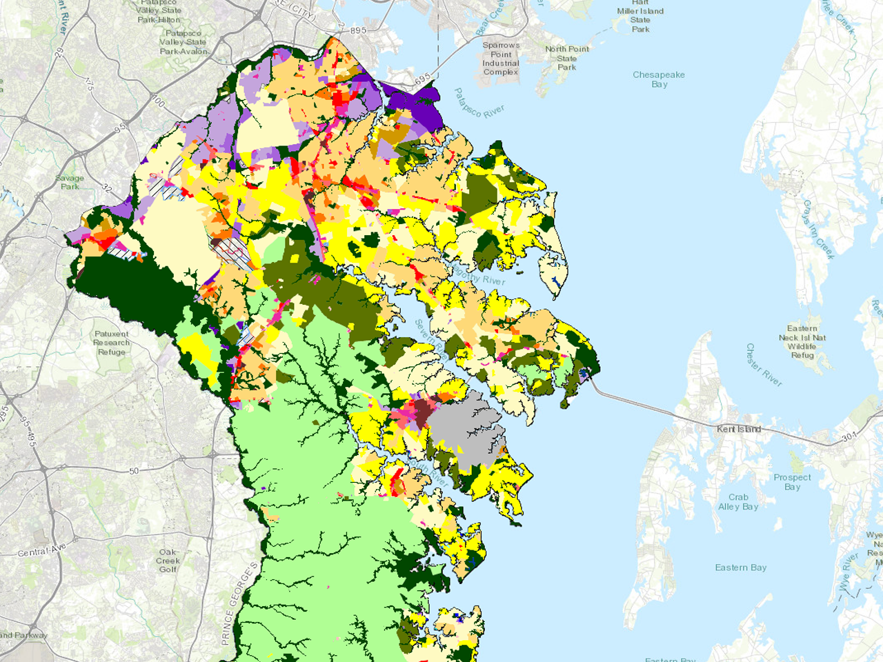
Explore the available Office of Planning and Zoning GIS data. Click on the GIS layer name for more information.
- County Boundary
- Digital Zoning Layer
- Parcels
- Region Plan Areas
- GDP Planned Land Use 2040
- Land Use 2017
- Land Use 2013
- Growth Tiers
- Critical Areas
- Green Infrastructure Network 2022
- Greenways 2002
- Subdivision Activity
- Commercial Site Plans
- Planned Unit Development
- Forest Conservation Easements
- Parole Growth Management Area
- BWI 4 Mile District
- BWI Mixed Use Overlay Area
- BRAC Mixed Use Development Area
- Commercial Revitalization Districts
- Glen Burnie Urban Renewal Area
- Buffer Exemption
- Odenton Growth Management Area
- Odenton Regulatory Blocks
- Odenton Sub Areas
- Priority Funding Areas
- Small Planning Areas
- School Impact Fee Zones
- Transportation Impact Fee Zones
- Transportation Zones 2015
- Zoning 1952
Geographic Resources
- What is GIS? Esri Link
- Anne Arundel County Maps and Apps
- Anne Arundel County OpenData Portal
- MD iMap Portal - Maryland’s Mapping and GIS Data Portal
- Maryland’s GIS Data Catalog
- Maryland State Archives
- Maryland State Geographic Information Committee
- PLATS.NET - Digital Image Reference System for Land Survey, Subdivision, and Condominium Plats
- United States Census Bureau TIGER/Line
- FEMA National Flood Hazard Viewer