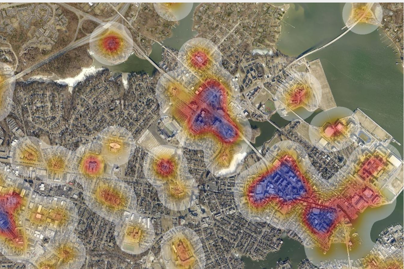
Geographic Information Systems
Geographic Information Systems (GIS) Staff is responsible for maintaining the Office’s digital databases and maps, and analyzing information for internal and public use. GIS Staff strives to meet the needs of its customers with the highest accuracy possible.
- Anne Arundel County's GIS layers are stored as ESRI shapefiles. The GIS Section uses ArcGIS 10.3.1. for their map production and analysis.
- Data can be provided in a variety of scales.
- All of our map data is projected to the US State Plane Coordinate System for Maryland and is in NAD83 Feet. This map projection is applicable for all Anne Arundel County data.
- Useful Links (County and State)
- Anne Arundel County Code
- Maps, As Built Engineering Drawings and Survey Monuments
- Maryland Department of Planning
- Maryland Department of Transportation
- Maryland Department of Assessments and Taxation Real Property System
- Maryland State Archives
- AACO Land Survey, Subdivision, and Condominium Plats
- Critical Area Map Index
- Maps & GIS
- Anne Arundel County GIS Data
- FEMA (Federal Emergency Management Agency) Floodplain Maps
- MERLIN Online (Maryland Department of Natural Resources) Allows users to produce a custom map of any location in Maryland
- USGS (United States Geological Survey) Allows you to print out their free digital topographic maps
- National Geographic Maps
- The National Atlas of the United States (The National Map Small-Scale Collection)
- USDA Forest Service Maps (United States Department of Agriculture)
- Geographic Education & Resources
- FAQsQ: What is GIS?
A: GIS stands for Geographic Information Systems, which is a collection of computer software, hardware, and people that serve to create, manipulate, and store geographic data or map information.
Q: How can I obtain a map?
A: For Zoning maps, Critical Area maps, Subdivision maps, and a variety of other publications sold to the public, visit the Information Counter.
Q: Where can I purchase Digital Data products?
A: Digital Data products are available through the Information Counter on the 4th floor of 2664 Riva Road, Heritage Office Complex.
Q: Does P&Z GIS create custom paper maps for the public?
A: Currently, we are not able to create custom maps for the public. Public maps are intended to address the public's mapping needs, as are the many maps available at the Information Counter on the 4th floor of 2664 Riva Road, Heritage Office Complex.