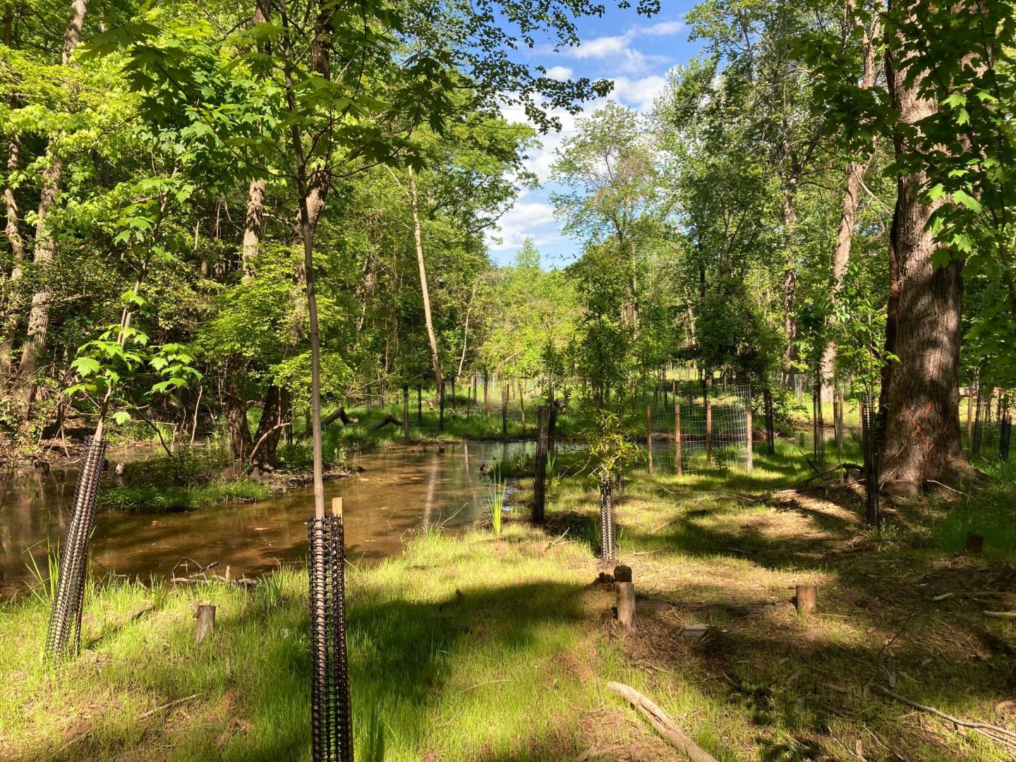
Watershed Assessments & Studies
Comprehensive Watershed Management Studies and Plans provide a holistic and systematic watershed perspective to land use planning and development review activities. In addition, they provide the tools necessary to facilitate daily land use and infrastructure management decisions to protect watershed resources. By providing an informed basis for prioritizing watershed restoration and preservation initiatives such as; Total Maximum Daily Load (TMDL) Implementation Plans to characterize watershed baseline conditions and resources.
Watershed Maps, Apps, & Tools
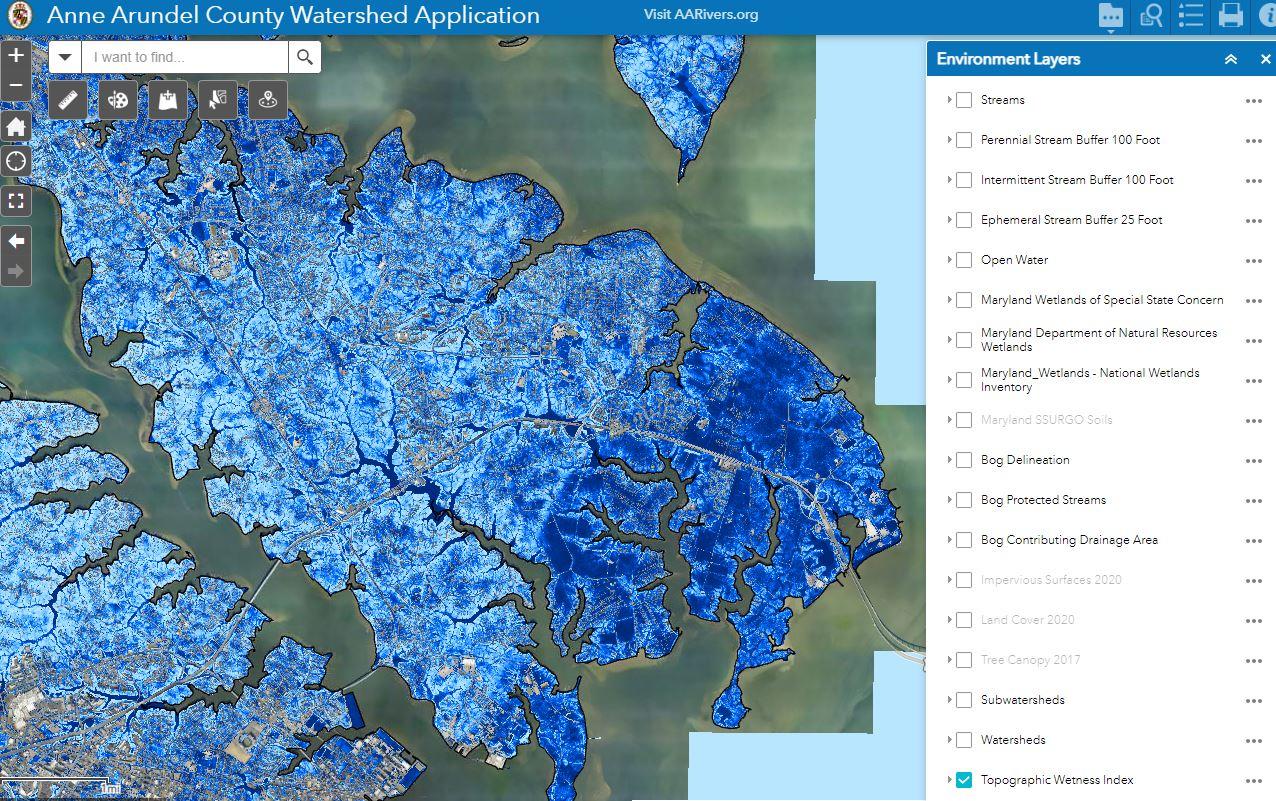
Open the BWPR Watershed Mapping Application
Explore layers of data relating to environmental features and existing stormwater infrastructure in Anne Arundel County.
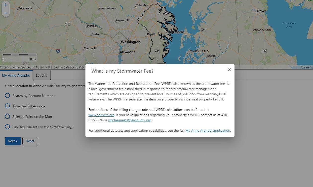
Open the Watershed Protection & Restoration Fee Viewer
Determine how much your property is taxed for the Watershed Protection & Restoration Fee.
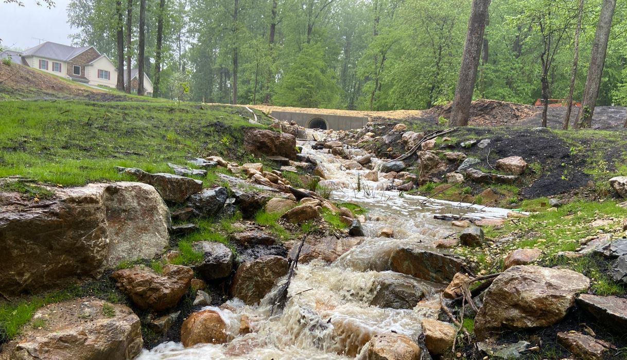
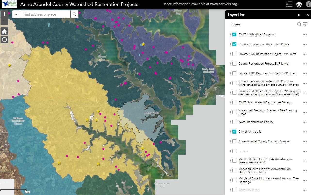
Open the BWPR Watershed Restoration Projects Viewer
Explore recent and upcoming restoration projects around the County. This map includes the Bureau's Capital Improvement Projects, Stormwater Facility Retrofits, and nonprofit AAWR Grant-Funded Projects.
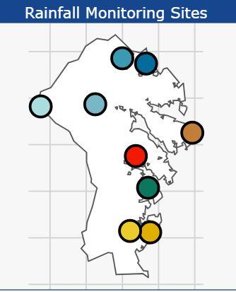
View DPW Rainfall Monitoring Data
View the average total rainfall at monitoring sites around the County.
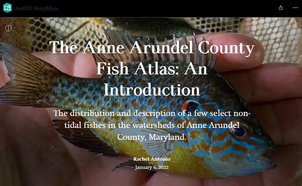
Explore the Fish Atlas ArcGIS Story Map
Learn about the most and least common fish species found in Anne Arundel County waterways over the 2017-2021 non-tidal Biological Monitoring Program.
Click here to download Floodplain Delineation Submittal Templates (.zip)
These shapefile and spreadsheet templates were created by BWPR for the Department of Inspections & Permits to collect data from engineers on new floodplain and wetland delineation projects. Click the button above to download a zipped folder containing all of the related templates.
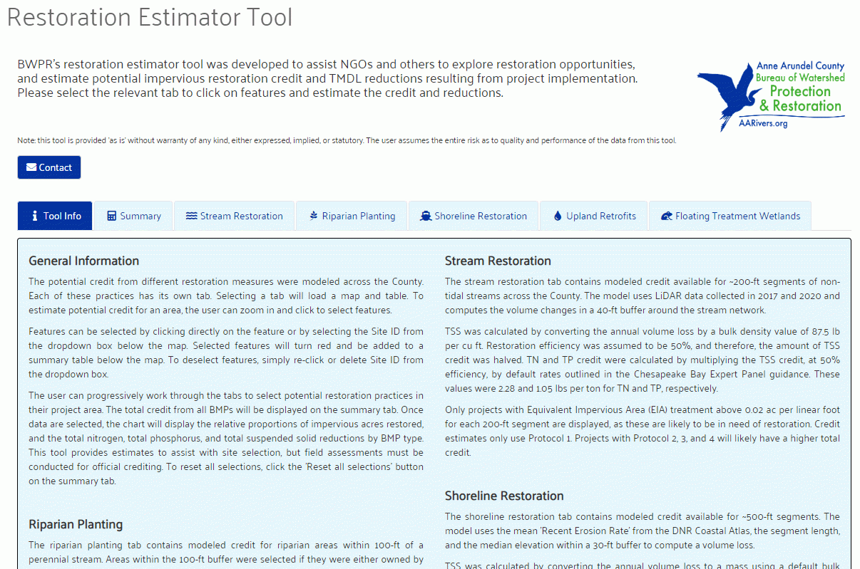
Open the Restoration Estimator Tool
Select a single BMP or a combination of BMPs on a map to generate a report that describes the potential restoration credit, pollutant reductions, and landowners near a proposed restoration project site.
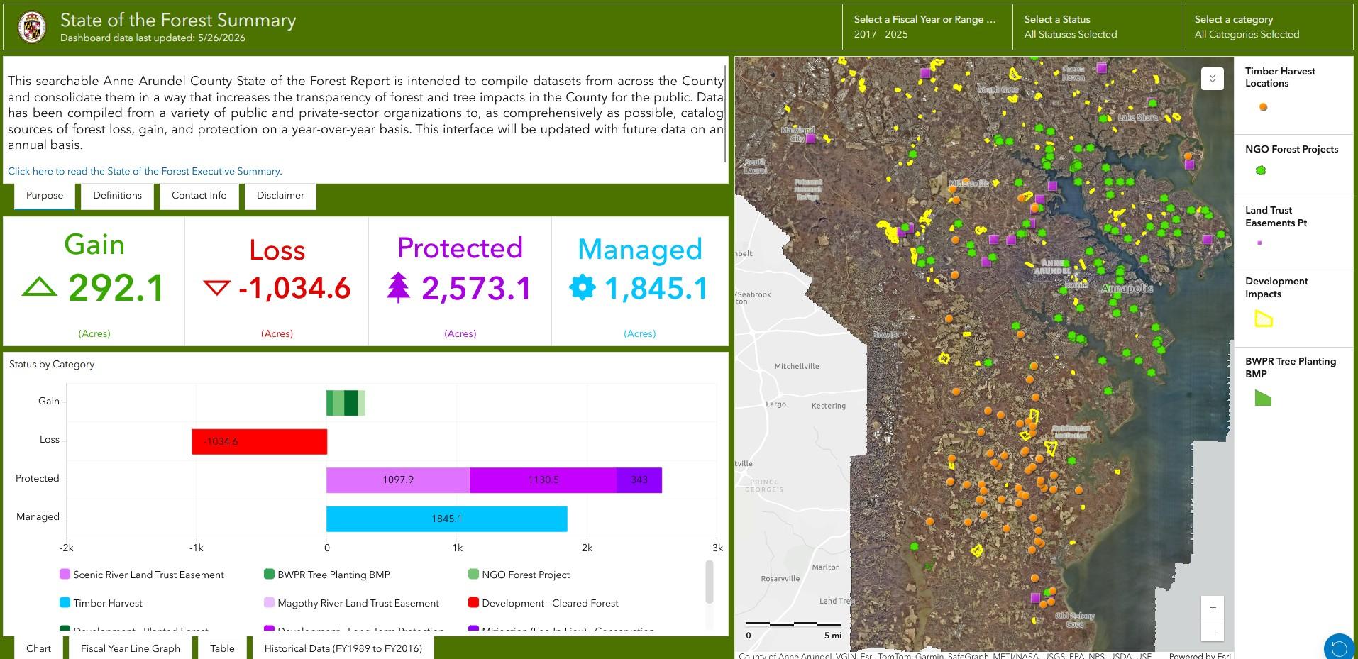
Open the State of the Forest Dashboard
Innovative online tool helps monitor and track County's forestry goals and progress to educate the public and inform policy decisions. View the 2025 Executive Summary here.
Open the SPSC Riffle & Cascade Sizing Tool
Designers can use this tool to stimate the appropriate sizes for the riffles and cascades of your proposed SPSC project in Anne Arundel County.

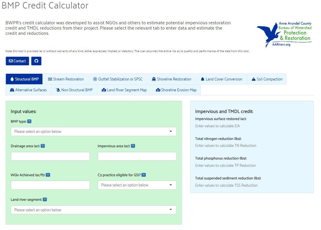
Open the BMP Credit Calculator
Estimate potential impervious surface restoration and pollutant reduction credits for a proposed restoration project site.
Watershed Management Tool (WMT)
All assessment information is compiled and housed in the GIS-interfaced Watershed Management Tool (WMT). The WMT consists of several components. The first component is a GIS-interfaced data repository in which all environmental data pertaining to waterways and land is stored, maintained, and updated. A second component consists of several engineering models that are used to evaluate existing and future conditions of hydrology, hydraulics, and water quality. A third component consists of a statistical model for performing exploratory correlation analysis to identify watershed stressors and their relationship to select watershed health indicators. The final component is a rating and prioritization analysis for streams and sub-watersheds. This analysis is aimed at prioritizing restoration and preservation recommendation actions and includes a cost/benefit analysis, feasibility study, and development of conceptual plans.
Request Information
To request more information about a published watershed assessment or implementation plan, as well as inquire about the development of TMDL stormwater implementation plans and opportunities open for public comment, please email the DPW Customer Service office at pwcust00@aacounty.org and specify that the message be forwarded to BWPR staff.
Modeling & Analysis Team Contacts
| Team Member | Role |
|---|---|
| Brenda Morgan | Engineering Manager |
| Brennan Smith | Engineer - Model Analyst |
| Sally Szydlowski | Program Manager - WPRF Support |
| Melissa Bragg | Program Specialist II - WPRF Support |
| Bertha Berrios | GIS Specialist |
| Jennifer Tam | GIS Specialist |