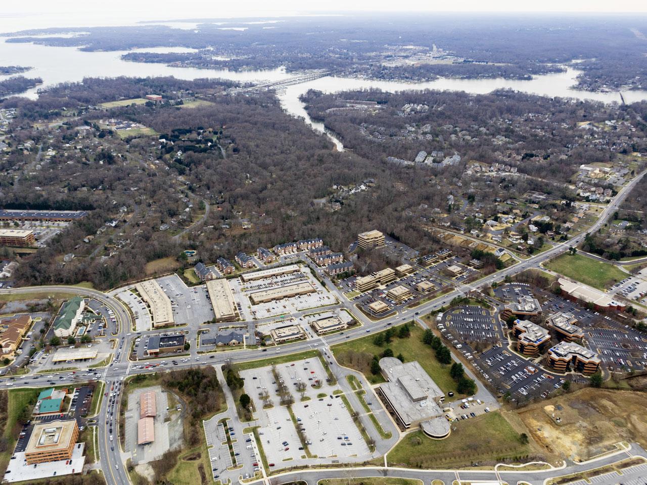
How to Make an Appointment
- To make an aerial photography appointment, please fill out the Aerial Photography Request Form.
An appointment can also be made by contacting the Planning Information and Map Counter via email: OPZMapRoom@aacounty.org or phone: 410-222-7463. - Appointment can be made for Tuesdays or Thursdays between the hours of 9:00 am and 3:00 pm
- To learn more about how to make an appointment request, please click on the linked text to view the Aerial Photography Appointment “How To”.
Aerial Photography Appointment Form
Aerial Photograph Cost
| Cost per copy |
| Black & White: | $5.00/copy |
| Color: | $6.00/copy |

