
Comprehensive zoning is one procedure for amending the Zoning Map, as per County Code § 18-2-106. Comprehensive zoning occurs after an analysis of the land use, development activity, and trends for either the County as a whole or for a particular section or region. The comprehensive zoning process provides an opportunity for the County to make changes in zoning, in accordance with the policies and recommendations in the General Development Plan, and ensure that the zoning is made consistent with the adopted Land Use Plan. The County may also use the comprehensive zoning process to rezone property in order to address an identified County or community need. There may also be updates initiated by property owners who apply to change their zoning.
The County conducted comprehensive zoning in tandem with Region Plans. As of June 2026, all of the Region Plans are approved by the County Council. Please visit the Community Hub site for your Region to see the approved Region Plan and the Land Use and Zoning Viewer for the County's Zoning Map.
-
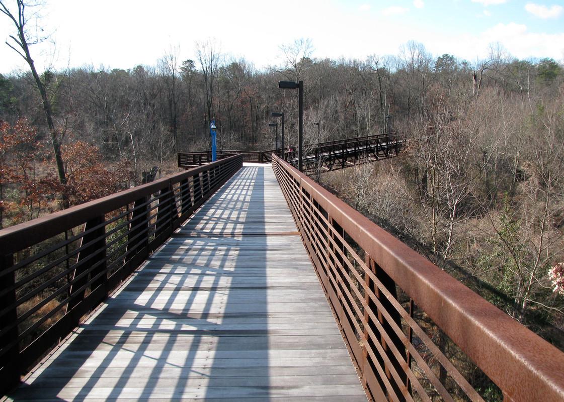 Region 1
Region 1 includes the north County communities of Linthicum Heights, Brooklyn Park, BWI Airport, Curtis Bay, Ferndale, and parts of Hanover and Harmans.
-
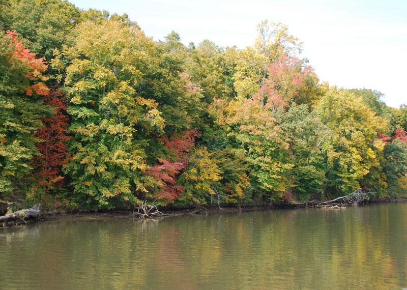 Region 2
Communities of Jessup, Annapolis Junction, Laurel, Maryland City, Fort Meade, Patuxent Research Refuge and parts of Hanover
-
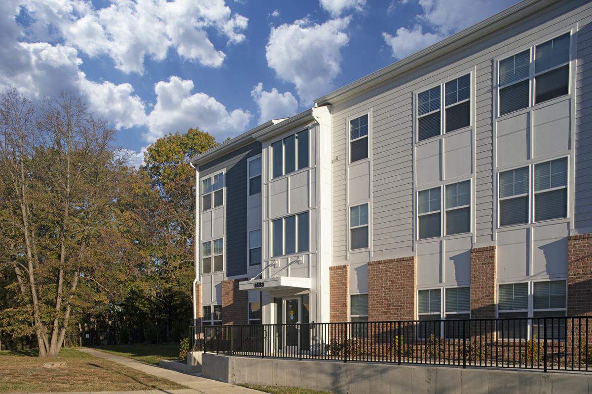 Region 3
Region 3 includes the central and eastern communities of Glen Burnie, Severn and a portion of Millersville as well.
-
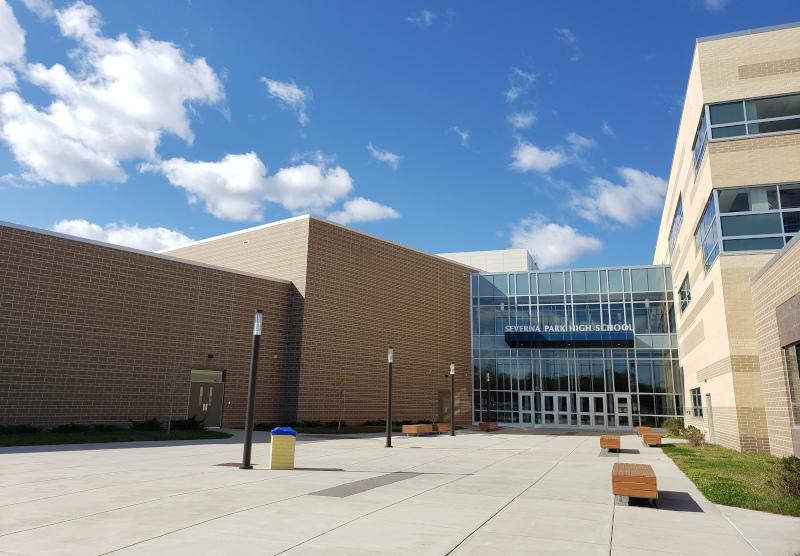 Region 4
Communities of Pasadena, Gibson Island, Severna Park, Arnold, Cape St. Claire and Broadneck
-
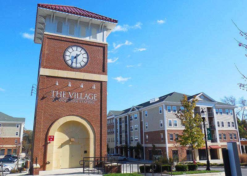 Region 5
Region 5 includes the communities of Odenton, Piney Orchard, Gambrills, Woodwardville, Crofton, and Two Rivers.
-
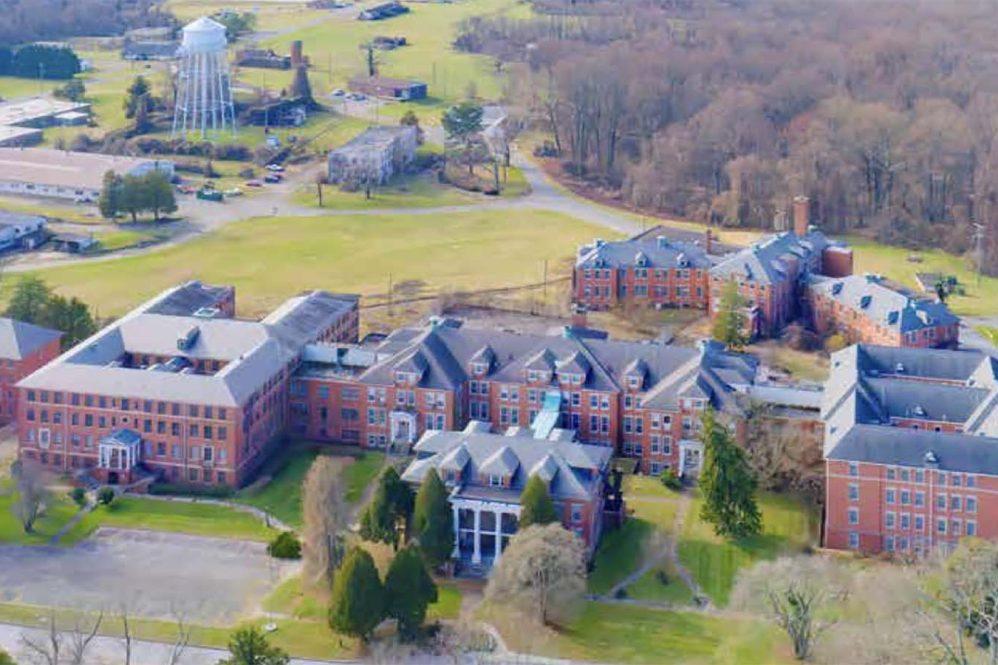 Region 6
Region 6 includes the community of Crownsville, a portion of the I-97 corridor, and the parts of Millersville.
-
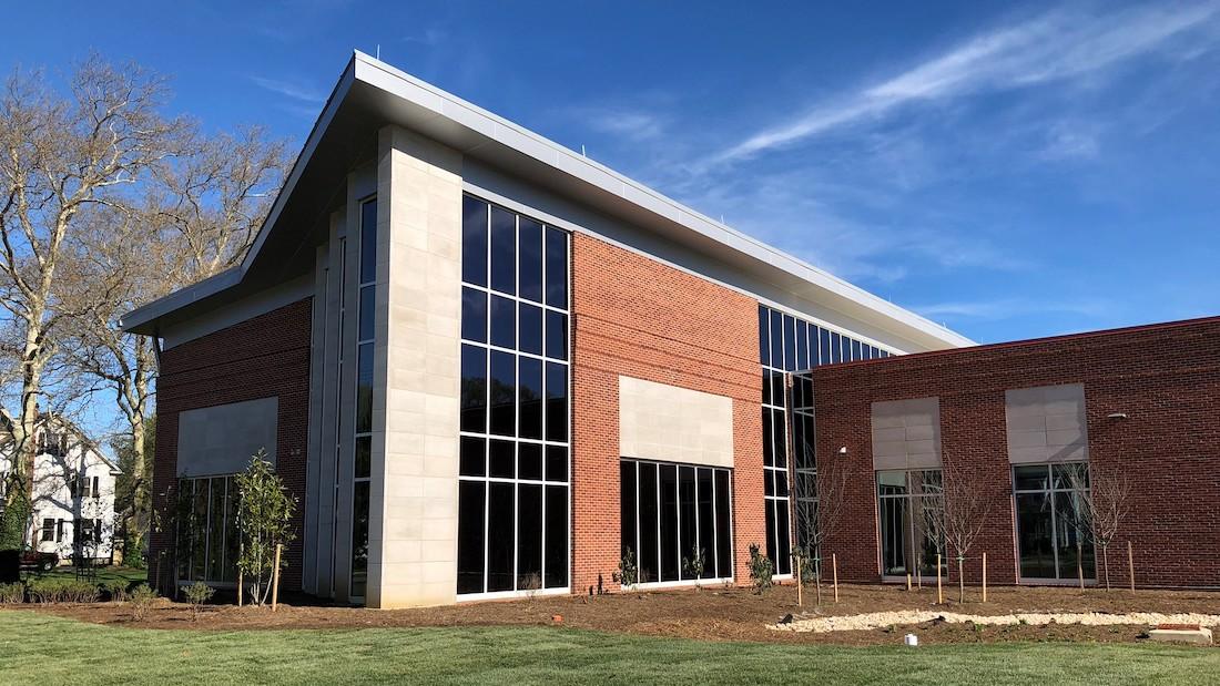 Region 7
Communities of Greater Annapolis, Parole, Riva, Annapolis Neck, Bay Ridge and Highland Beach
-
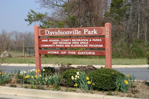 Region 8
Region 8 includes the communities of Davidsonville, Harwood, Lothian, Friendship, Waysons Corner, and parts of Edgewater and Friendship.
-
 Region 9
Region 9 includes the southern communities along the Chesapeake Bay, such as Deale, Mayo, North Beach and more.
Overview
Zoning is a tool used to guide how land is developed or preserved. The Zoning Map classifies land in the County into zoning districts where different types of land uses–such as residential, commercial, and industrial–are allowed. The Zoning Code includes a set of bulk regulations, such as lot coverage, density, and building height requirements, that help determine the form of development.
The generalized Zoning Map gives a quick view of how the County has been zoned. For the zoning of individual properties, use the MyAnneArundel App. For more information about comprehensive zoning, please refer to County Code § 18-2-106 or see the County's Zoning Administraion Website.
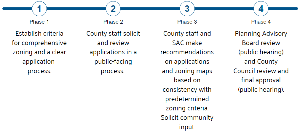
1. The Office of Planning and Zoning (OPZ) conducted a comprehensive analysis of the Regions for changes in growth patterns and inconsistencies between the adopted planned land use and the current zoning and made preliminary recommendations for changes in zoning. In addition, OPZ reviewed goals, policies, and strategies adopted in the most recent General Development Plan and made recommendations for zoning changes to implement these.
2. The process included an application period where property owners or their designated representative could apply for a change in zoning on their property(ies). OPZ reviewed the requests based on a set of established criteria and made a recommendation for the change request.
3. OPZ shared the initial draft comprehensive zoning map changes with the Region’s appointed Stakeholder Advisory Committee for their review and recommendation.
4. OPZ released a preliminary draft zoning map of the recommended changes for public review. This map included changes where the recommendations of the Region Plan Stakeholder Advisory Committee differed from OPZ.
5. OPZ staff reviewed public comments and created a Planning Advisory Board draft zoning map of the recommended comprehensive zoning changes based on public feedback.
6. The Planning Advisory Board (PAB) reviewed the draft Zoning Map and made recommendations. OPZ staff reviewed the PAB’s recommendations and created a final draft Zoning Map of the comprehensive zoning changes for the County Council’s review.
7. The County Council reviewed the final draft Zoning Map for the Region and had the final authority to amend and adopt it.
There were multiple opportunities for the public to review and comment on proposed comprehensive zoning changes during the region planning process that occurred between 2022 and 2026. In addition to the generalized review windows outlined below, staff held drop-in sessions in each Region and attended community events where the public could review and comment on the draft changes in person. The public could also provide testimony at both the Planning Advisory Board and County Council review stages.
Comprehensive zoning typically occurs after a comprehensive planning process such as the General Development Plan or smaller area master plans. Anne Arundel County adopted its first zoning map in 1952. The County has conducted comprehensive zoning four times since then:
- First Comprehensive Zoning: 1972 - 1976
- Second Comprehensive Zoning: 1985 - 1989
- Third Comprehensive Zoning: 2000 - 2007 (as part of Small Area Plans)
- Fourth Comprehensive Zoning: 2011
- Fifth comprehensive rezoning: 2022 - 2026 (as part of Region Plan process)
See the Comprehensive Zoning FAQ for answers to questions related to comprehensive zoning. If you have further questions, complete the Contact Us form.