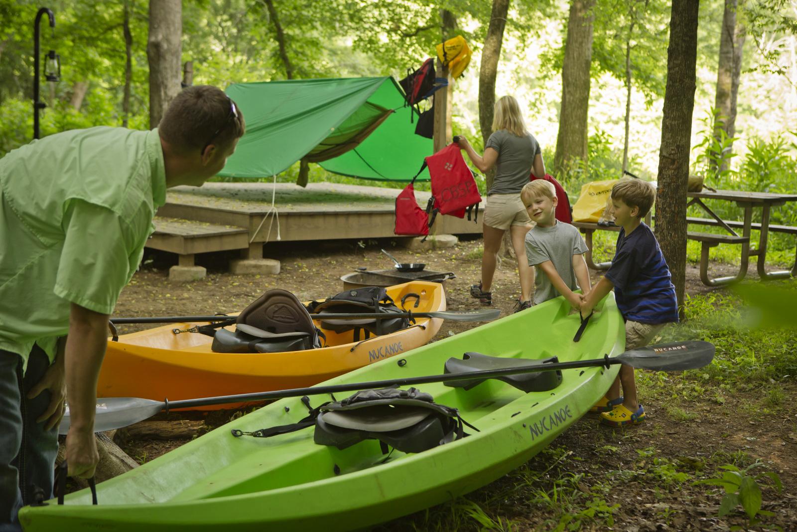
Enjoy an overnight stop at a paddle-in primitive campsite along the Patuxent River. These campsites have port-o-john's available. Users must pack in and pack out all waste. Sites contain one tent pad, picnic table, and fire ring.
- Maximum Nights Rental: 2
- Cost: $10 per night
Our campsites are primitive. Each site contains one 12’ X 12’ tent pad. Each site may have no more than 6 people using it, with a maximum of 2 tents per site. Each site will have one picnic table. Trash must be packed out, and the County supports “leave no trace” ethics. Canoes and kayaks are allowed to be brought up to the campsite, or left on the bank, but the County is not responsible for lost or stolen property. EMS response (911) would be challenging at this location. Please be prepared to give emergency officials your gps location, and be aware that you could accidentally be connected to Prince Georges County 911. Make sure any EMS call taker understands you are in Anne Arundel County. It is preferred waste be packed out, but a cathole may be used. Please see information below on how to properly cathole human waste.
Welcome to the Ford Campsite at Stocketts Run located along the Patuxent River near Harwood, Maryland. Approximate GPS coordinates are 38 52’ 56.36” N and 76 40’ 31.27” W
If you are using the Patuxent River Trail map we are located on the downstream left side of the river at approximately mile marker 51. Please look for a large brown sign with a tent symbol on it. A short obvious trail leads from the river to your campsite. Tent pad sites are numbered on their corners and correspond to your rental. You may check into a campsite by 2:00pm. Checkout should occur by 12:00pm on your last day.
Welcome to the Emory Landing Campsite at the Emory Waters Nature Preserve located along the Patuxent River, near the Jug Bay Wetlands Sanctuary. Approximate GPS coordinates are 38 46’ 13.77” N and 76 41’ 41.27”
If you are using the Patuxent River Trail map we are located on the downstream left side of the river at approximately mile marker 42. Please look for a large brown sign with a tent symbol on it. A short obvious trail leads from the river to your campsite. Tent pad sites are numbered on their corners and correspond to your rental. You may check into a campsite by 2:00pm. Checkout should occur by 12:00pm on your last day.
- Campsites are paddle in only (car access for launch or retrieval is not possible at this location)
- Private property closely adjoins County parkland, please stay in the general campsite area
- Open fires are prohibited, but camp stoves are allowed
- Alcohol, weapons, hunting, fireworks, metal detecting, and littering are prohibited
- Pets must be under the control of their owners, on a leash at all times, and their waste disposed of
- Interfering with, removing, or disturbing wildlife and natural resources is prohibited
Human Waste Disposal:
- Packing out of waste is preferred
- Catholes are the most widely accepted method of on-site disposal. Locate catholes at least 200 feet (about 70 adult steps) from water, trails and camp. Select an inconspicuous site where other people will be unlikely to walk or camp. With a small garden trowel, dig a hole 6-8 inches deep and 4-6 inches in diameter. The cathole should be covered and disguised with natural materials when finished.