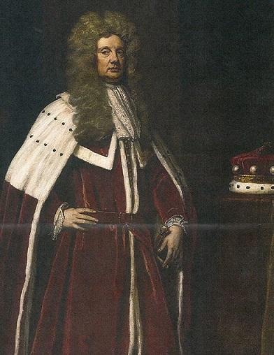
The first European settlers arrived in present-day Anne Arundel County in 1649. Seventeen years earlier, King Charles I signed the Charter of Maryland granting the colony to Cecil Calvert, the second Lord Baltimore. Cecil Calvert and his father, George, who died two months prior to the charter, envisioned the colony as both an economic enterprise and a place where fellow Roman Catholic royalists could escape the religious strife that was increasingly prevalent in England. After the death of his father, Cecil Calvert was materially aided in his enterprise by his father-in-law, Thomas Arundell, first Baron Arundell of Wardour. A wealthy and influential Catholic, he was able to fulfill his dream of establishing a colony in North America through his son-in-law. In 1642 the English Civil War broke out between the Roman Catholic royalists supporting Charles I and the Protestant Parliamentarians. Cecil Calvert, whose patronage came exclusively from the monarchy, became understandably concerned about his ability to maintain control over his colony. To solidify his position, he took several steps that would prove pivotal in the history of the Maryland Colony and what would soon become Anne Arundel County.
In 1649, the year Charles I was beheaded, the Maryland General Assembly enacted "An Act Concerning Religion" which legislated some degree of religious protection to all Christians. He also replaced the Catholic Acting Governor Thomas Greene with the Virginia Protestant William Stone with the understanding that Stone would help populate his colony. Stone approached a group of nonconformist Virginia Puritans and offered them land and guaranteed freedoms in Maryland. In December of 1649 the first European settlement in Anne Arundel County was founded by these Puritans on the north shore of the Severn River opposite present-day Annapolis. It was called Providence.
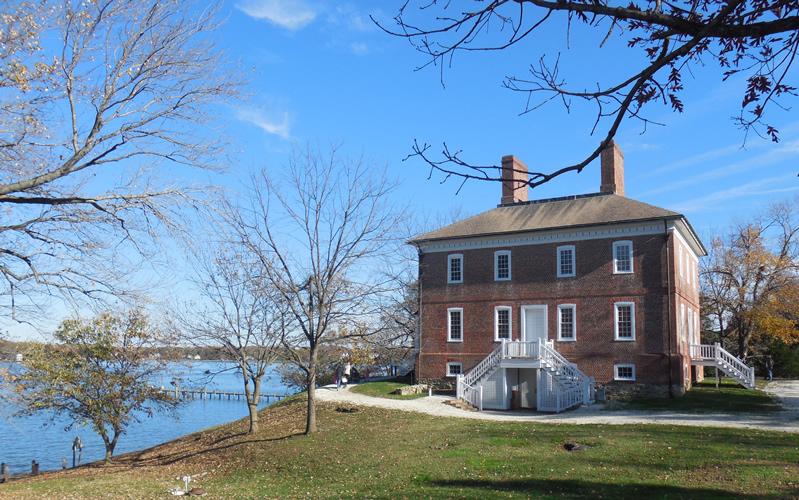
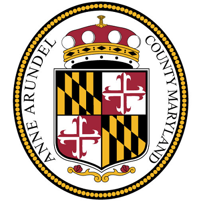
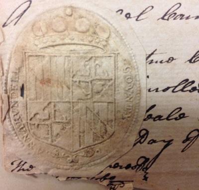
Personal tragedy was also a part of 1649 for Cecil Calvert with the death of his beloved wife of twenty-one years, Anne Arundell. In 1650 the Maryland General Assembly created Anne Arundel County and named it after her. The County seal still in use is a slight variation on the Coat of Arms of the Lords' Baltimore. London Town was the original seat of County government.
From 1650 through 1695, a series of religious, regional and political struggles occurred in Maryland. In March of 1655, the Battle of the Severn was fought at the mouth of the Severn River and on land either at Horn Point (present-day Eastport) or across the river at Hidden Point.
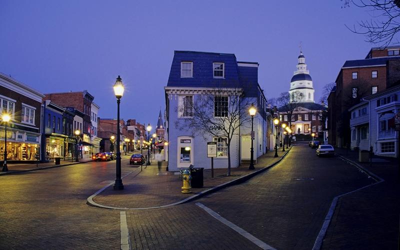
Governor Stone's forces, under Lord Baltimore's orders, sailed up the Chesapeake Bay from St. Mary's City. His goal was to reestablish the authority of the Calverts over Providence, but the Puritans decisively defeated the Governor's forces and gained temporary control of the colony. Oliver Cromwell restored Cecil Calvert's control in 1657, but in 1688 King William III annulled the Calvert Charter and declared Maryland a royal colony. The General Assembly voted in 1694 to move the capital from St. Mary's City to "Anne Arundell Towne." In 1695 the town was renamed "Annapolis" in honor of then Princess Anne (later became Queen Anne,) younger sister of Queen Mary. Annapolis became the economic, social and political center of the colony and the seat of government for Anne Arundel County. It remained the capital and seat of government when statehood was achieved on April 28, 1788.
Providence and other European settlements throughout the Chesapeake colonies relied upon tobacco as their main cash crop. The soils and climate were favorable, but tobacco had several limitations which proved important in the history of the County. It was a very labor intensive crop which forced farmers to rely on slaves and indentured servants. To meet the labor requirements, slavery was sanctioned by law in 1664. As crop rotation was not practiced during this period, the once fertile soils were rapidly depleted affecting the quality and quantity of the harvest. Even the most successful farmers suffered severe financial hardship during the periodic dips in the tobacco market and many marginal farmers were forced to relocate. Nevertheless, the population of the County tripled between 1700 and 1750 from 4,100 to 12,520. During the period immediately following the Revolutionary War, Baltimore City with its superior port facilities became the economic center of the new state. Concurrently, the northern portion of the County began to develop an economy which was not based entirely on agriculture. Iron ore was mined starting in the eighteenth century. The raw ore was smelted in Glen Burnie at the Curtis Creek Mining, Furnace and Manufacturing Company and at Elkridge Landing (then part of the County). In 1840 the Annapolis & Elkridge Railroad was completed linking northern Anne Arundel County to the Baltimore & Ohio Railroad. This railroad and the ones that soon followed were crucial in the development of the area as a regional transportation center. The reliance on tobacco as the major cash crop was lessening throughout the County during the nineteenth century, but it took the socioeconomic changes brought on by the Civil War to finally force local farmers to diversify.
Both Annapolis and Baltimore were occupied by the Union Army during the Civil War to safeguard any attempt by Maryland to secede; pro-southern sentiments ran high throughout the State. Camp Parole was established near Annapolis as a prisoner exchange post for soldiers waiting to be exchanged or paroled. Some of those who succumbed to disease or injury were buried in the military cemetery on the corner of present-day West Street and Taylor Avenue.
Maryland's Fourth Constitution adopted on November 1, 1864 freed the remaining slaves throughout the State. As this labor source disappeared, farmers in the southern portion of the county increasingly shifted to crops such as corn, wheat, hay, and fruit though tobacco was, and is, still grown. Seafood and associated industries such as shucking houses also became significant factors in the economy of that area. Farmers in the northern portion of the County discovered that the prevalent sandy soils were ideal for truck farming. Eastern European families living in Baltimore were transported to the farms to harvest the fruits and vegetables. Initially, Baltimore was the primary market, but over time Anne Arundel County peas, beans, strawberries and cantaloupes became famous throughout the eastern seaboard. Canning and fertilizer plants were opened in northern Anne Arundel County in support of the truck farming.
In the late 1880's, recreation became a major business throughout the County with the opening of numerous summer resorts including Bay Ridge, "The Queen Resort of the Chesapeake." Readily available rail and steamboat access from Baltimore brought clientele to Bay Ridge and other smaller resorts developed on creeks in the northern portion of the County. The resort areas developed in Shady Side and Mayo in the south though popular were relatively small as there was no rail access from Baltimore and the Washington lines ran only to North Beach in the extreme southeast corner of the County. Additionally, paved roads were the exception, not the rule until the twentieth century. In 1893, Major Charles R. Douglass, the son of abolitionist Frederick Douglass, established Highland Beach as an exclusive resort for African Americans. Many prominent African Americans, including Booker T. Washington, Paul Laurence Dunbar and Mary Church Terrell, either visited or owned homes in the community.
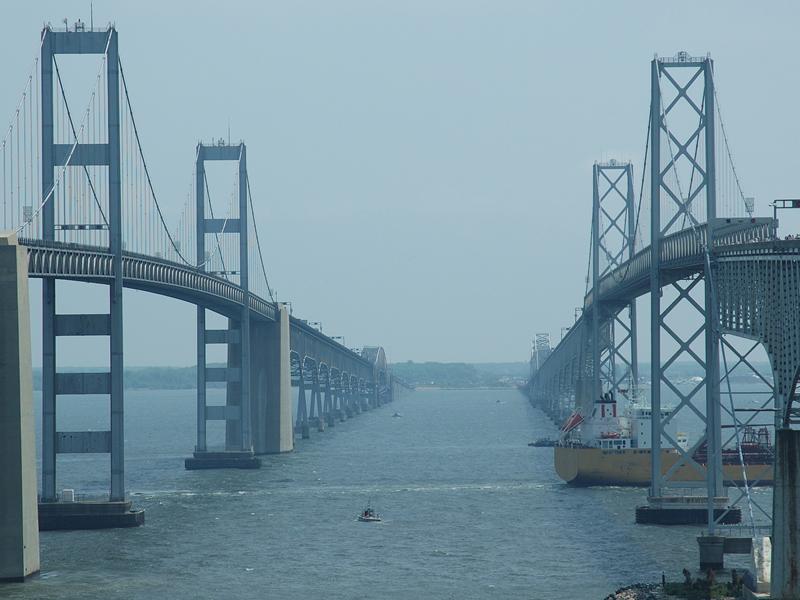
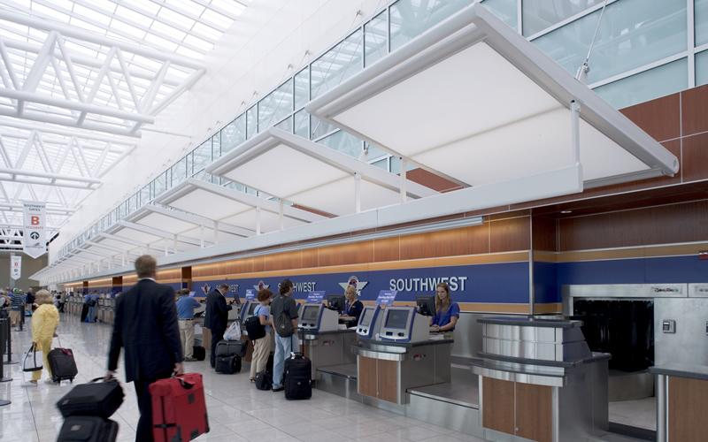
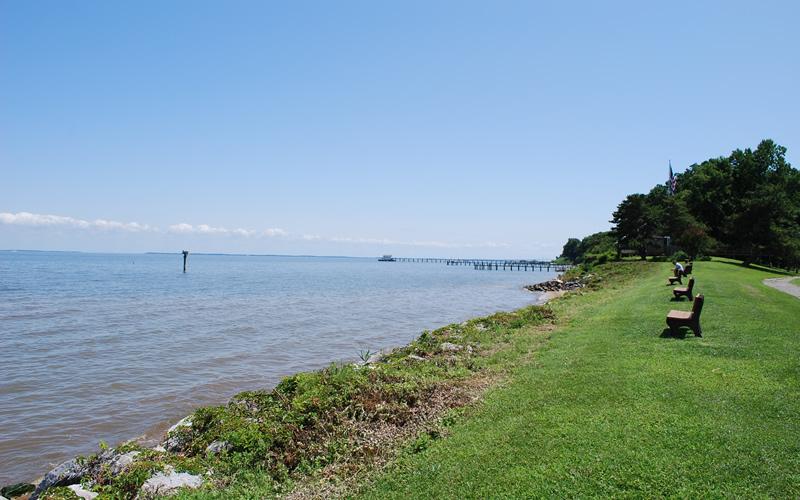
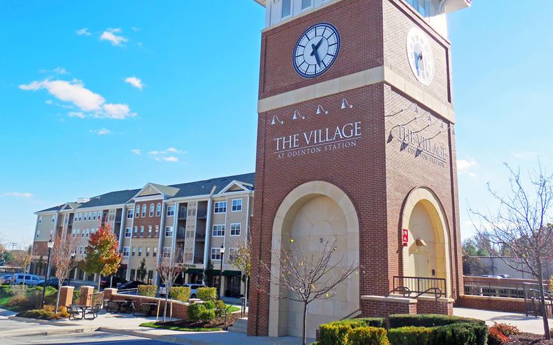
The increased industrialization in the County during World War II and the national movement towards suburban living that followed caused significant changes to occur in Anne Arundel County. Major employers such as National Plastics Corporation (now Nevamar) and Westinghouse relocated to the County. The Naval Academy, established in 1845 on the site of Fort Severn, continued to be a major employer. Fort George Meade was established during World War I to train troops for battle in France, but was greatly expanded during World War II. The influx of army personnel and the associated commercial enterprises transformed Odenton from a small rail stop to "Boom Town." Harundale Mall, one of the first enclosed shopping malls in the nation, was opened in 1958, reflecting the change in emphasis from Baltimore to more local commercial centers. Friendship International Airport (Baltimore-Washington International Airport), dedicated in 1950 by President Harry S. Truman, was considered the most advanced facility in the United States. In 1957 it was the East Coast terminus of the record-breaking transcontinental flight by the first Boeing 707 jetliner. The population soared especially in the northern portion of the County as residential, commercial and industrial development continued at a record pace. The population of the County tripled in the decades between 1940 and 1960 from 68,375 to 206,634 with approximately 70% of the population living north of the South River. Charter government was formed in 1964. In 1968 the first Comprehensive Zoning plan was adopted in an attempt to direct and limit the phenomenal growth the County was experiencing. Anne Arundel County continues to attract business and new residents because of its central location between Baltimore and Washington, its superior transportation networks, and the natural beauty and recreational opportunities its 533 miles of shoreline offer. The population of Anne Arundel County is projected to grow throughout the twenty-first century from 485,800 in 2000 to 563,000 in 2030. Sources: Ms. Donna Ware, Dr. Al Luckenback, Mr. Alexander Speer (Anne Arundel County Office of Planning and Zoning), The Maryland State Archives, U.S. Census Bureau, Baltimore Washington International Airport